
Dickinson Previous Residents by Era
A former household may appear in a deed, a rural directory, a telephone book, a regional city directory, a census, a permit file, or a newspaper. Each source answers a different question. Recorded land documents establish parties and parcel identity; directory and census material can place a household at a time; permit or code files can tie work to an address. Begin with the date range that matters, then select the source built for that era.
| Source | Years it covers | Where held | What it shows |
|---|---|---|---|
| County land records | 1840-current stated by county | Galveston County Clerk land system, counter, paper, and microfilm | Transfer parties, legal descriptions, dates, and instruments |
| Rural directory | 1920 | Rosenberg Library | Dickinson farmers and nonfarmers before ordinary city-directory coverage |
| Dickinson phone book | 1937 | Dickinson Historical Society archive | Subscribers, addresses, telephone numbers, and advertisements |
| Telephone directories | 1959 | Rosenberg Library | Names, telephone numbers, and addresses |
| Clear Lake Area directories | 1963, 1969, 1971, 1972, 1974, 1976, 1977, 1979, plus 1964, 1975, and 1977 citations | TSLAC and Rosenberg Library | Regional name and address snapshots |
| Federal census | Decennial, through 1950 public | National Archives and library databases | Household members, ages, relationships, and enumeration address |
Dickinson's MyGov permit portal began in 2022. For an earlier permit or code file, the city did not publish a verified archive range, so make a precise Texas Public Information Act request to the custodian with the address and date range.
Dickinson Previous Residents: Parcel Identity
Use Galveston Central Appraisal District Property Search, or GCAD, to freeze the current parcel identity. Its owner, address, ID, and Advanced modes can return an owner name, situs address, mailing address, property or geographic ID, subdivision, lot and block, legal description, and tax-year details. Search a street name without prefixes, suffixes, or unit numbers when an exact address fails. A result is an appraisal account, not proof that a named owner currently occupies the property.
Copy the owner name exactly and save the situs, geographic ID, subdivision, lot and block, and legal description. The legal description is the durable bridge when a street number, postal label, or locality name changes. A mailing address can belong to an agent, a PO box, a business, or another residence. It can help locate correspondence, but it cannot establish who lived at the Dickinson parcel.
Note: GCAD describes its legal descriptions and acreage as research information, so confirm the controlling description against the recorded instrument.
Dickinson Deed Chain for Past Residents
The backward deed method begins with the present owner as a grantee, not with a broad surname guess. The county-linked QuickLink index has historical index-book and book, volume, and page routes. The county says its land system holds records from 1840 to current. That date is the county statement. A vendor's July 13, 1838 full-index assertion is third-party information and needs clerk confirmation before it is treated as coverage.
- From GCAD, record the current owner, situs, geographic ID, and complete legal description.
- Search the current owner as grantee in the county deed index within a reasonable date range.
- Open or obtain the purchase instrument, then save the grantor, grantee, recording date, instrument number, book and page, and legal description.
- Use that seller, the grantor in the newer instrument, as a grantee in earlier years to find the seller's purchase.
- Repeat the sequence, carrying lot and block or survey and abstract wording forward. Check spelling variants and each new legal description.
- Grantor and grantee
- The grantor transfers an interest. The grantee receives it. In a backward chain, the seller shown as grantor is searched earlier as a grantee.
- Chain of title
- The sequence of recorded transfers linked by parties and the same parcel identity, rather than by a street address alone.
- Legal description
- The lot, block, subdivision, survey, abstract, tract, or metes-and-bounds wording that identifies the land in recorded records.
A correction deed, trustee deed, probate deed, release, lien, or plat can explain an apparent break. Record it rather than skipping it.
Dickinson Previous Residents Beyond Online Images
Online records do not define the end of the chain. Galveston County's preservation material describes permanent records in paper, 16mm microfilm, 35mm plat film, and aperture cards. When an image or index result stops, ask the county clerk for a courthouse-terminal search, a microfilm or deed-book lookup, or a certified copy. No verified exact date separates online images from paper or microfilm, so it would be inaccurate to promise a cutoff year.
The County Clerk's real-property information is the official route for land records, plats, copy services, and the Property Fraud Alert. That alert monitors a submitted personal or business name when it appears on a recorded county document. It is a useful follow-up for a recorded-name search, but it is not title insurance and does not establish a complete chain.
The county's stated 1840-current scope is unusually long, yet the access method changes across the span. That contrast is why the counter remains part of careful Dickinson house history.
The county-linked deed index exposes the book, volume, and page route used for historical document research.
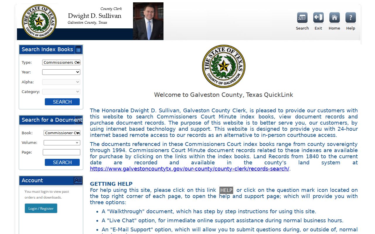
Use the index controls to locate an instrument, then retain its identifying fields before moving to the next older transfer.
Dickinson Locality Names in Address History
The main continuity trap is a place name, not a documented street-renumbering project. The city's New Residents information warns that an address using Dickinson as the mailing city can be inside League City or Texas City. Older material can call the area Dickinson, Dickinson Station, Dickenson Station, or Dicksons Station. Use the recorded legal description, railroad or bayou landmark, subdivision, and county parcel to connect the historic label to the parcel.
Dickinson incorporated in 1977, after decades in which the broader community and postal identity did not line up cleanly with a city boundary. That history helps explain why a directory entry can be relevant to a Dickinson search without proving that the address lies in today's city limits. Preserve the source's original locality name and state the modern jurisdiction separately when it matters.
Dickinson Directories for Previous Residents
The directory shelf adds people to a title chain. Start with the 1920 rural listing for the pre-city-book period, the 1937 phone book, and the 1959 telephone directories. For the later period, search the catalog heading “Clear Lake Area,” not only Dickinson. TSLAC lists Clear Lake Area volumes for 1963, 1969, 1971, 1972, 1974, 1976, 1977, and 1979; the historic survey also cites Rosenberg Library holdings in 1964, 1975, and 1977.
TSLAC's city-directory research guide explains that a volume's format and access conditions can vary. The source runs here are not proven to include a reverse or criss-cross section. Check the specific book before assuming an address-order lookup exists.
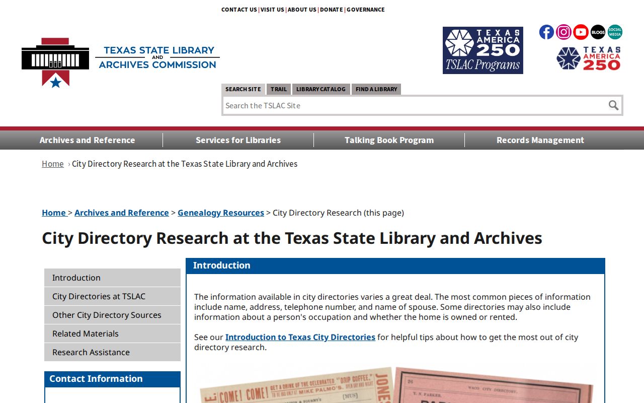
The guide helps frame a directory hit as a dated address or subscriber reference, not as proof of continuous residence.
TSLAC's holdings list shows why the regional Clear Lake Area heading matters for Dickinson research.
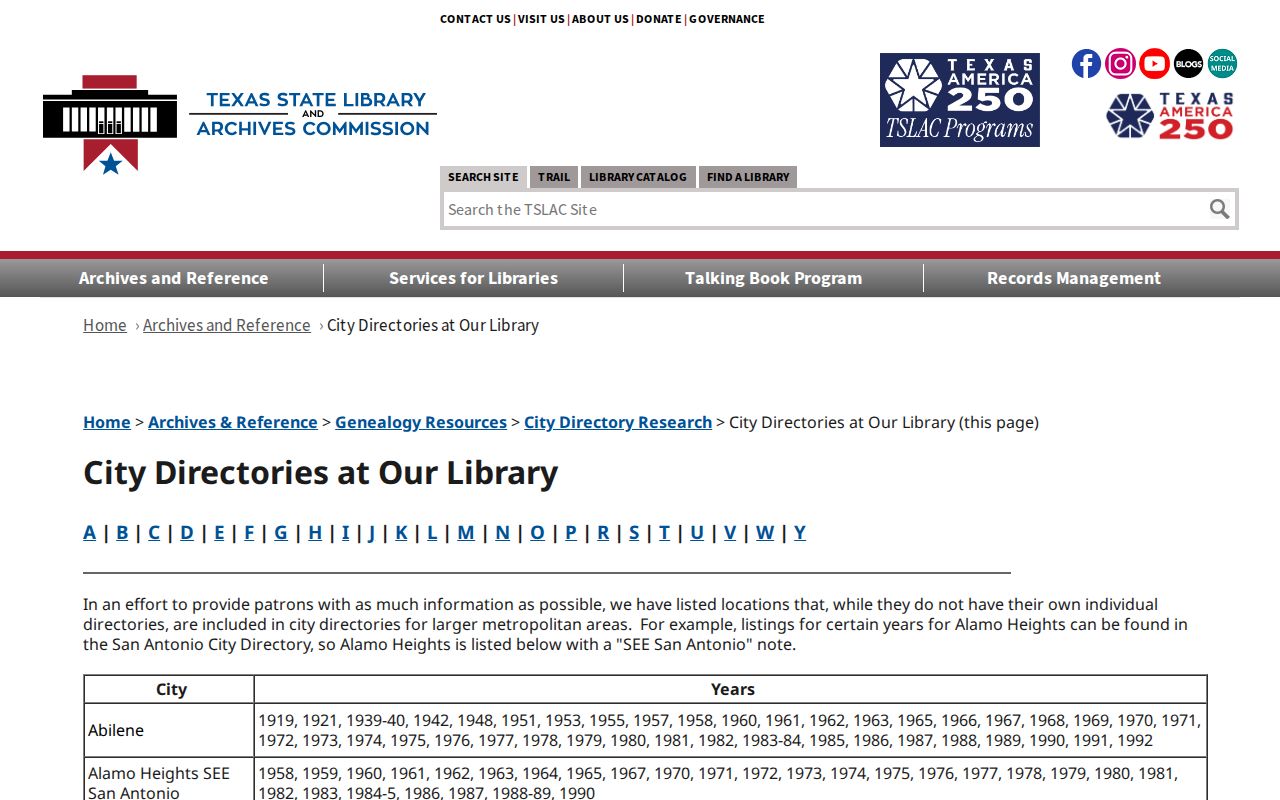
Use the listed years as checkpoints around a deed date, while allowing for unlisted subscribers and skipped editions.
Match Previous Residents to Census
Land ownership is only half the address history. Pair each available directory year with the nearest federal census. The public census sequence currently reaches 1950 under the 72-year rule. A 1920 Dickinson address may call for the rural directory and census; the 1937 and 1959 periods call for the telephone books; the 1960s through 1979 call for the Clear Lake Area volumes. Census age, relationship, and occupation can test whether the directory name belongs to the same household.
- Set the target year from a deed date, directory cover date, or other dated document.
- Search the appropriate local or regional directory by surname, address, and known name variants.
- Compare that finding with the nearest public census, noting the enumeration address and household relationships.
- Check the next directory or recorded transfer for a move, new household, or changed legal description.
- Close uncertain trails with public probate, cemetery, school-yearbook, or newspaper material where available.
The historical volumes themselves are detailed on the Dickinson city directory page. Probate and cemetery sources may identify heirs or a death, but a directory match alone is not proof of a family relationship.
Lawful use. Dickinson house-history research is appropriate for family history, property curiosity, record correction, and estate work. Texas Penal Code §§42.07 and 42.072 prohibit harassment and stalking, so do not use public records to track or harm a living person.
Dickinson Previous Residents and Plats
No Sanborn maps were produced for the unincorporated village, according to the 1992 historic survey. Texas map resources can still be useful for other places, but a Dickinson Sanborn sheet was not located. For a local historic lot layout, the better substitute is a recorded subdivision plat in the Galveston County Clerk's office. A plat can retain lot, block, street, easement, and subdivision language that connects the deed trail to the ground.
The Library of Congress Sanborn search guide explains the normal map-research route, while the local survey establishes that Dickinson needs a different source.
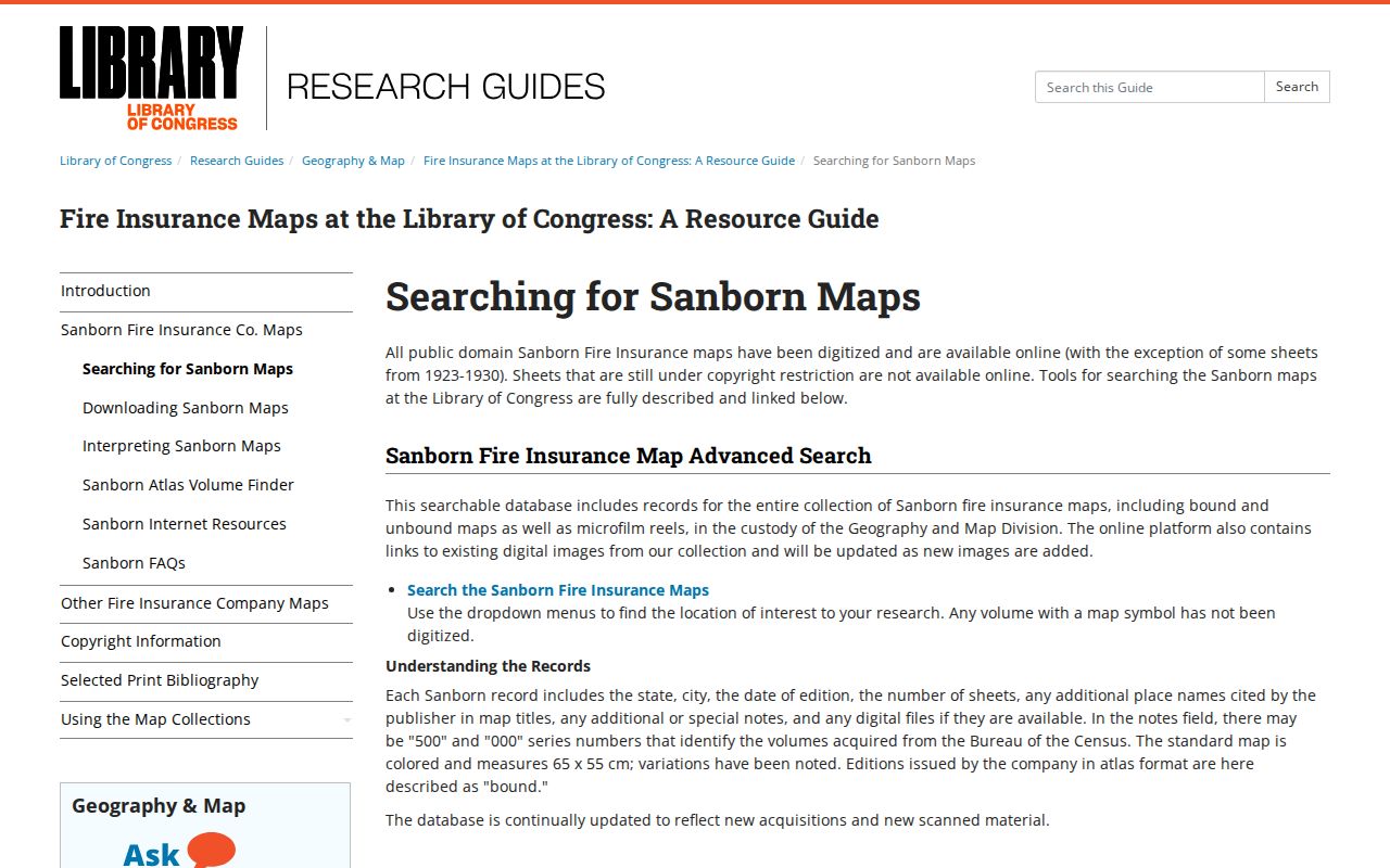
Aerial history from the Dickinson Historical Society's 1991 site-view item and the county GIS aerial toggle can add context, but neither replaces a recorded plat or legal survey.