
Trace Dickinson Streets by Address
Start with the whole address as it is known, but keep the street name separate from the postal city. Dickinson sits in Galveston County, and the city notes that a Dickinson mailing address can also be in League City or Texas City. The useful record path is therefore address to parcel, parcel to owner of record, then owner and legal description to recorded instruments. This address sequence is designed for a property or family-history question, not for compiling private household information.
- Normalize the street address. For the appraisal search, use the street name without a prefix, suffix, or unit number, then add the street number if the result set is broad.
- Search the Galveston Central Appraisal District address mode. Save the situs, property or geographic ID, owner name, and legal description rather than relying only on the displayed mailing address.
- Enter the address in the Galveston County ArcGIS map. Use parcel and aerial layers to place the result on the street, while treating map lines as informational.
- Carry the owner name and legal description to the county-linked deed index. Search the current owner as grantee, then use the seller from that instrument to move to an earlier transfer.
- For a named individual, the My Voter Portal can check a personal registration route with county, date of birth, and ZIP. Historical telephone and regional directory volumes can add older address snapshots, but each remains a snapshot.
That order keeps a modern street search tied to a parcel. It also prevents a name, a mail destination, or a street label from being mistaken for proof of present occupancy.
Search Dickinson Streets in GCAD
The CAD screen is the main current-record entry point for a Dickinson street search. It has By Owner, Address, ID, and Advanced modes. Address mode accepts a street number and street name. Advanced controls can narrow a broad street result by subdivision, neighborhood, tax year, property type, and identifiers. GCAD advises users to omit prefixes, suffixes, and unit numbers, and to try the street name alone when a full address does not return a parcel.
| GCAD field | Street-search use |
|---|---|
| Street Number | Use the address number to narrow one parcel. |
| Street Name | Enter the basic name without prefix, suffix, or unit. |
| Property ID / Geographic ID | Reuse an identifier found on a map or prior result. |
| Owner Name / Owner ID | Check the owner-of-record route after locating the parcel. |
| Subdivision / Condo | Use the type-ahead selector for a development-based search. |
| Neighborhood | Limit a large result set by CAD neighborhood. |
| Tax Year | Choose the available appraisal year being researched. |
| Property Type / DBA | Apply only when the address question calls for that category. |
| Abstract / MobileHomePark | Use the available list selectors for non-subdivision land. |
| Protest and hearing fields | Advanced appraisal fields, not street-occupant fields. |
The GCAD Advanced search shows the optional field set used to narrow parcel research.
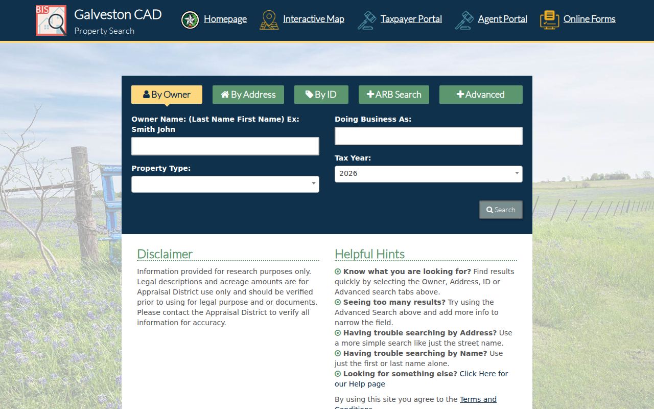
The screen supports a property search, not a census of people on a street. A result can show owner, situs, mailing address, legal description, values, exemptions, and IDs where maintained. GCAD says its legal descriptions and acreage should be verified before legal use.
Read Dickinson Street Parcels on ArcGIS
After the appraisal search, the county ArcGIS viewer gives the street-by-street view. Its address bar is labeled Find address or place. The map guide describes a general search, search by a specific layer, zoom controls, a layer list, a street-map or aerial switch, sharing, and parcel popups. County Engineering and GCAD are identified as data sources. Parcel lines, flood context, and aerial imagery can help orient a Dickinson street, but a recorded plat or survey controls a legal boundary.
| Map control | Practical use |
|---|---|
| Find address or place | Locate the street address in the county viewer. |
| Search by specific layer | Limit a search when an available layer is appropriate. |
| Layer list | Turn parcel and other current layers on or off. |
| Street map / aerial imagery | Compare visible roads, drainage, and development context. |
| Zoom controls | Read a street segment and nearby parcel geometry. |
| Select parcel / popup | Capture the displayed parcel clue for a CAD follow-up. |
Use the aerial view as context. A driveway, bayou, drainage channel, or road can make nearby parcels appear related when the recorded lot lines say otherwise.
Follow Dickinson Street Deeds by Legal Description
A street address is useful for starting, but the legal description carries the result into land records. The Galveston County Clerk’s county-linked QuickLink index provides index-book controls and a document search using book, volume, and page. Land records are stated by the county to run from 1840 to current. A vendor coverage statement reports a 07/13/1838 start for a full index, but that is not a clerk-confirmed cutoff. Older material may still require a courthouse terminal, deed book, microfilm, or a certified-copy request.
At Galveston County QuickLink, use the owner as grantee and preserve the instrument number, recorded date, book or volume, page, document type, and lot, block, tract, or survey wording. Then search the seller as grantee in earlier years. A correction deed, trustee deed, probate deed, lien, release, or plat can explain a break that a simple name search misses.
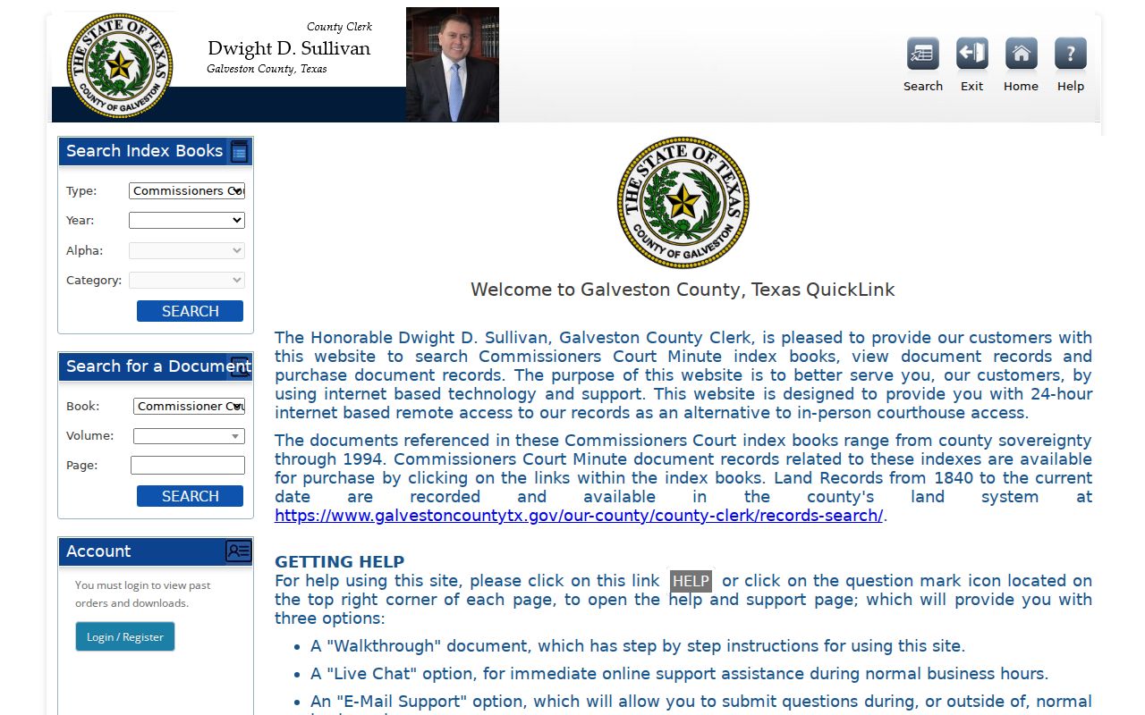
This grantor-grantee route is the durable part of an address trail. It identifies recorded parties and land instruments, while the physical street name can change in display or be shared across postal labels.
Use Dickinson Street Permits as Date Clues
Dickinson Community Development routes construction, mechanical, electrical, plumbing, pool, sign, and other permit work through MyGov. The city says its online permitting began October 3, 2022. An account can begin an application, upload plans where required, view review comments, schedule inspections, and print an approved permit or pay fees. Inspection results are described as available to the account user; the research did not establish a general public address search for them.
The city permit responsibilities page is the first stop for current process details. For a precise address and time period outside the visible portal route, use the Dickinson public-information request process. The city form asks for a clear description, optional From and To dates, delivery preference, and redaction choices. Code complaints are also address-based, but no public bulk code-case index was found.
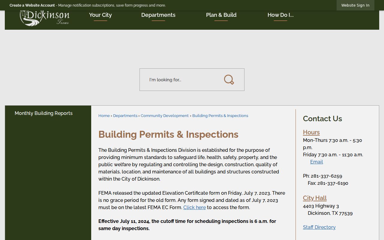
A dated permit can place a project at an address. It does not establish who was living there, and protected or redacted material may not be released.
Note: A narrow address and date range makes a Texas Public Information Act request easier for the city to identify and review.
Place Dickinson Streets in Earlier Directories
For a past street snapshot, Dickinson has a distinct set of sources rather than one uninterrupted local book. The 1920 rural directory at Rosenberg Library lists farmers and nonfarmers. The Dickinson Historical Society has a 1937 phone-book archive item, and the 1992 historic survey cites 1959 telephone directories. Texas State Library holdings place Dickinson under Clear Lake Area for 1963, 1969, 1971, 1972, 1974, 1976, 1977, and 1979. The physical volumes must be checked for a reverse or criss-cross section; the research did not confirm that every one has it.
Those materials belong to the historical collection work described in the Dickinson city directory. For street research, record the volume title, year, locality heading, page, and the exact address wording. Census, newspaper, cemetery, probate, and recorded-deed evidence can test whether a same-address name is the same person.
Check Dickinson Street Postal Labels
Dickinson street research must separate a postal place name from incorporation. The city warns that a Dickinson address can be in League City or Texas City, and local history uses Dickinson Station, Dickenson Station, and Dicksons Station. Preserve the label shown in each historical source, then compare the parcel’s legal description, subdivision, bayou or railroad landmarks, and county map context. The city incorporated in 1977, so older material can describe the wider community without matching a present municipal label.
Note: A street name and ZIP help route mail, while a recorded plat and legal description identify the parcel for title purposes.
Compare Dickinson Street Records by Address
Each record set answers a narrower question than the words “who lives here” suggest. The appraisal roll is best for a current owner of record and parcel facts. The map supplies geometry and context. Clerk records document transfers and plats. City files can put a permit or complaint process at an address. The record trail is strongest when these sources agree on a parcel identity, not when a single result supplies a familiar name.
| Address-keyed record | Custodian | Useful fields | Access route |
|---|---|---|---|
| Appraisal parcel | Galveston CAD | Owner, situs, mailing address, IDs, legal description | Free web search |
| GIS parcel | County Engineering / GCAD | Parcel geometry, adjacent context, aerial and available layers | Free ArcGIS viewer |
| Deed and plat | Galveston County Clerk | Parties, dates, instrument, book/page, legal description | Free index; images or copies may cost |
| Permit file | Dickinson Community Development | Application, review, inspection, and work timing | MyGov route or public-information request |
| Code complaint | Dickinson Code Enforcement | Report number, address, inspection, violation, compliance | Request route; no bulk public search located |
The tax account and the property-fraud alert are separate county services. The alert watches subscribed names on recorded documents. It is not a title search and does not replace the instrument-by-instrument deed chain.
Use Dickinson Voter Data Carefully by Street
The Texas My Voter Portal is an individual lookup, not a whole-street roster. Its name route uses first and last name, county, date of birth, and ZIP. Alternative routes use VUID or a Texas driver-license or personal-identification number only when supplied during registration. A result can show registration status, VUID, county, precinct, and polling-place information. It does not prove that a person now lives at a selected parcel or identify every member of a household.
Galveston County Clerk Elections is the local registrar. A statewide voter-information request has its own form, filters, delivery options, affidavit, and confidentiality rules under Texas Election Code chapter 18. Protected residence addresses, SSN, Texas DL/PID information, and phone numbers are not part of an ordinary public street search.
Note: Registration status and polling information are civic records, not a street-by-street confirmation of every household member.
Define Dickinson Street Record Terms
Keeping the record vocabulary straight makes it easier to compare a map, appraisal account, and deed without merging their meanings.
- Parcel
- A mapped tract or lot used in the appraisal and GIS systems. It may have a property or geographic ID.
- Situs address
- The physical location used for the parcel or building, distinct from the address used for tax correspondence.
- Plat
- A recorded map of a subdivision or land layout that can show lots, blocks, streets, and easements.
- Criss-cross directory
- An address-ordered directory section, when a particular volume includes one, that can point from address to a listed subscriber.
Limits of Dickinson Street Records
Public land records name parties to recorded documents and appraisal accounts name an owner of record. They do not provide a complete list of residents at an address. Non-owner occupants, utility customers, unlisted subscribers, DMV address data, protected voters, and Address Confidentiality Program participants are outside a normal public street search. A mailing address can be a post office box, agent, business, or another residence, so it must not be treated as proof that its recipient lives at the parcel.
When a result appears wrong, return to the custodian with its property ID, instrument number, book and page, or report number. That route is more reliable than copying a name from an incomplete index.